


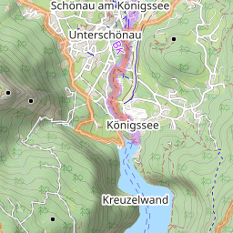
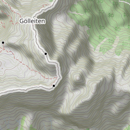
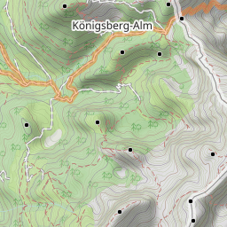
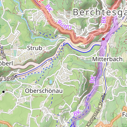
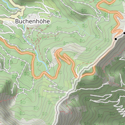
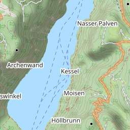
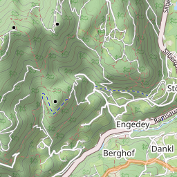
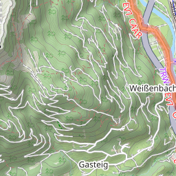
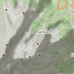
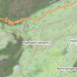

Leaflet | Data © OpenStreetMap contributors, Maps © Thunderforest contributors, CC-BY-SA, Imagery © Mapbox
Gesamtstrecke: 17.32 km
Maximale Höhe: 2241 m
Minimale Höhe: 900 m
Gesamtanstieg: 1403 m
Gesamtabstieg: -1539 m
Gesamtzeit: 09:13:31
Download file: activity_7754365898.gpxMaximale Höhe: 2241 m
Minimale Höhe: 900 m
Gesamtanstieg: 1403 m
Gesamtabstieg: -1539 m
Gesamtzeit: 09:13:31